Turning spatial data into decisions.
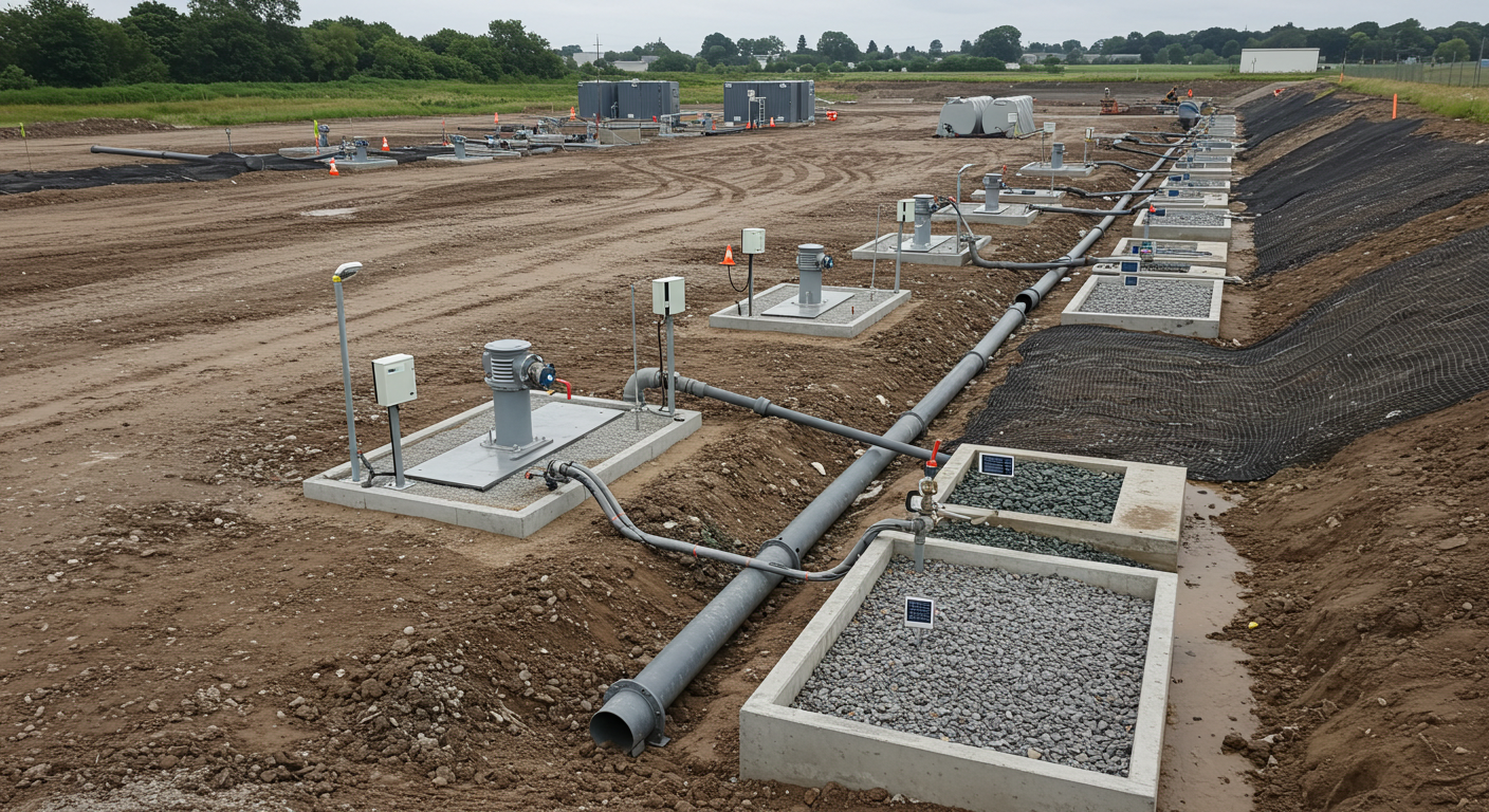
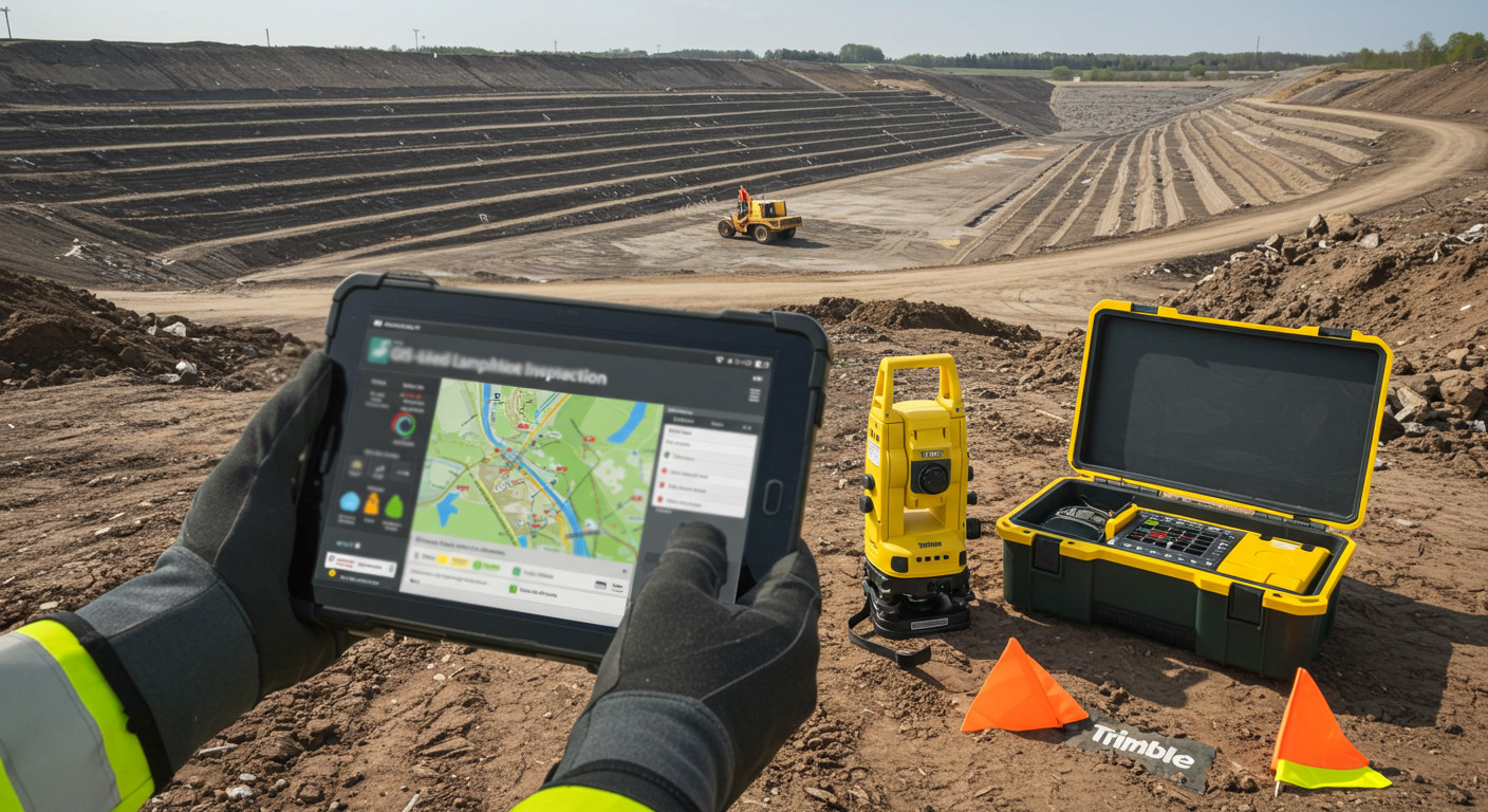
Geographic Information Systems that organize your site's utilities, parcels, terrain and infrastructure into clear, connected maps.
Turning spatial data into decisions.
Geographic Information Systems that organize your site's utilities, parcels, terrain and infrastructure into clear, connected maps.
Diversified Engineering builds and manages Geographic Information Systems that bring scattered site information — utilities, parcels, terrain and infrastructure — into one organized, queryable map. The result is data your team can update, share and build on as a project evolves.
Organized spatial data layers — utilities, parcels, terrain and infrastructure — in your project coordinate system.
Locating and mapping utilities, structures and field assets for management, planning and maintenance.
Identification of hydrologic and geologic features and hazards, with route and corridor planning from layered data.
Map exhibits and data products that support permit applications and regulatory submittals.
Where GIS adds value
GIS brings site information together in one place — easier to update, share and reuse across planning, design and long-term asset management.




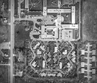
Aerial Orthophoto Mapping
DEI used a combination of digital orthophotography and GPS technologies to map the 29-acre retirement village, consisting of a 3.6-acre, multi-story assisted care center and 38 duplex living units.
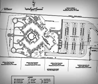
Site Plan Mapping
Site plan mapping of the UAW Ford Learning Center, a daycare facility, with parcel and site improvement data compiled for the owner.
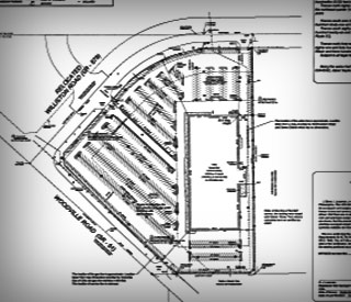
Commercial Site Mapping
Detailed site mapping of a former retail store on a 15-acre parcel in a suburb of Toledo, Ohio. DEI subsequently worked with the owner to subdivide the site to create three additional sites for a bank and two restaurants.