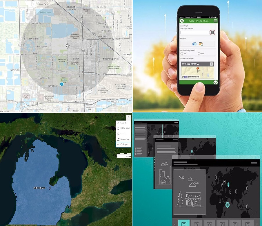
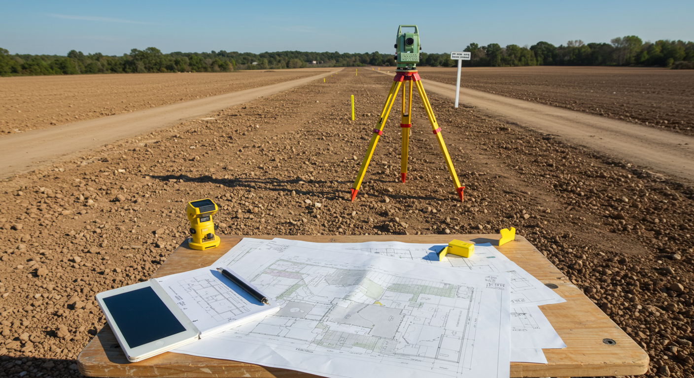
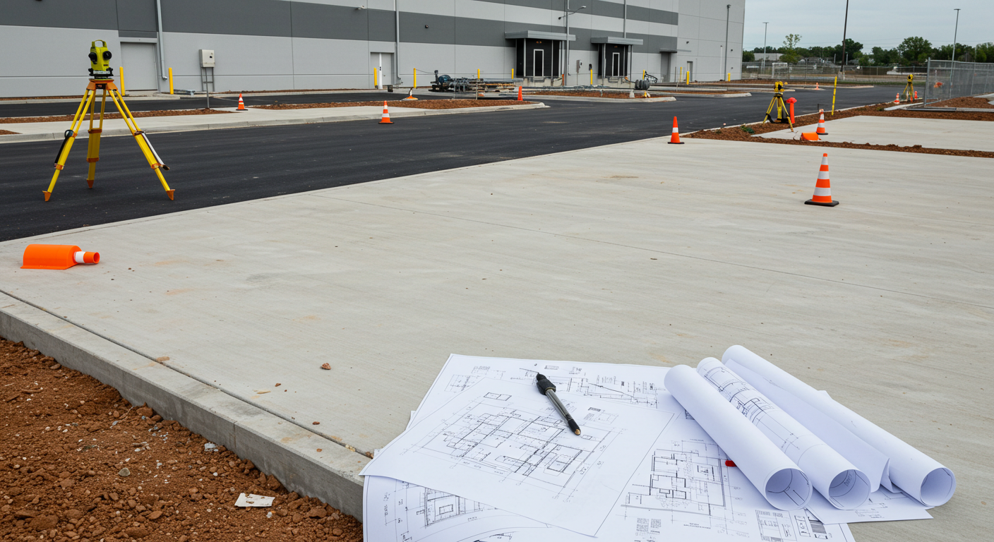
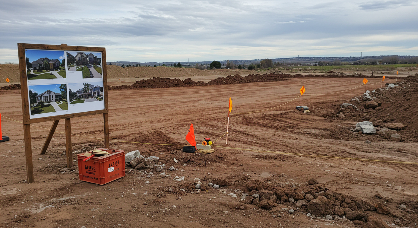
SURVEYING & MAPPING

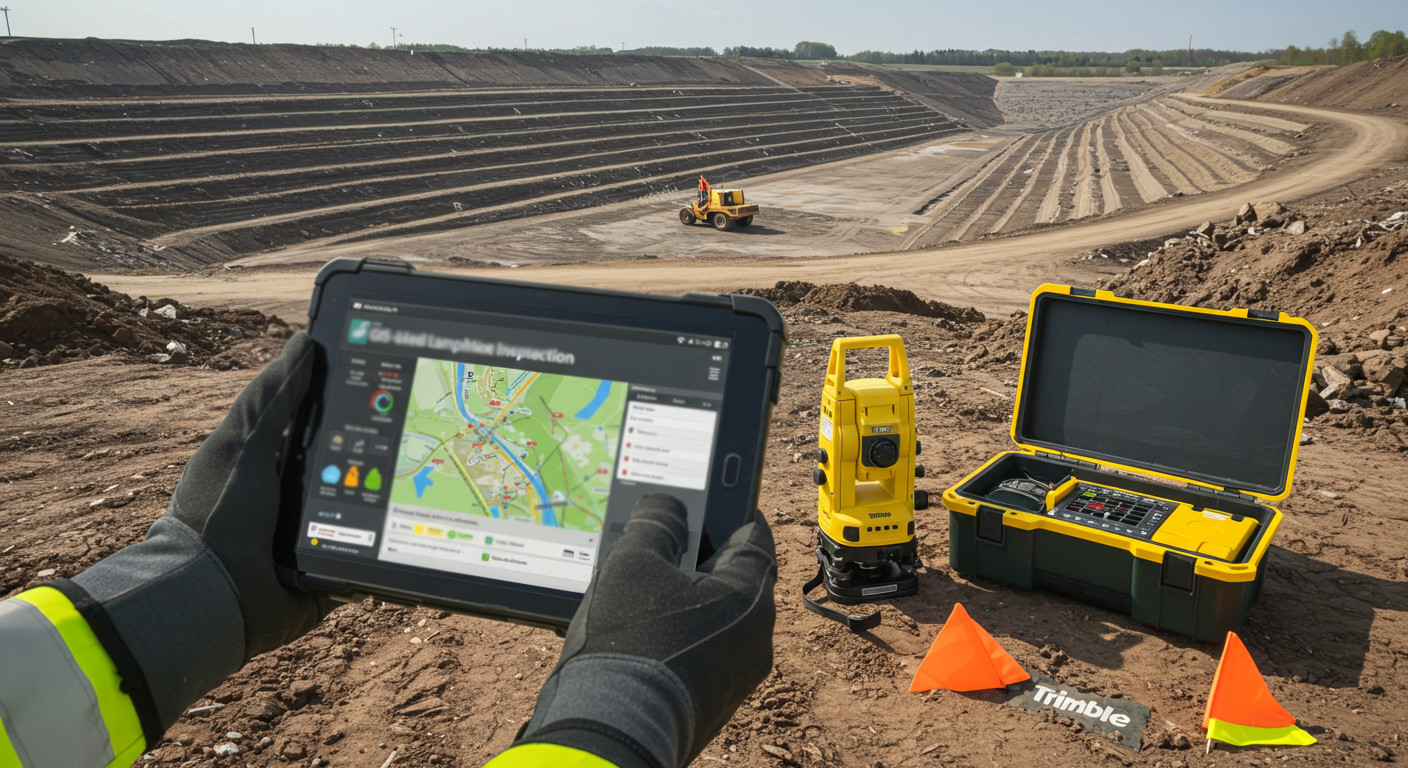
Diversified Engineering's staff utilizes the latest technology and proven methods to deliver accurate and timely data for our clients. Our equipment includes three types of GPS systems, robotic and reflectorless total stations, and wireless field-to-office communications — ensuring efficient, high-precision surveying services.

Specialties

  • Horizontal & Vertical Control Surveys

  • Topographic Surveys

  • Geographic Information Systems (G.I.S.)

  • Volumetric Surveys

  • Construction Surveys

  • Cadastral & Mortgage Surveys

  • Drone Aerial Mapping

  • ALTA/NSPS Land Title Surveys

  • Boundary Surveys

  • Residential Property Surveys

  • Flood Elevation Surveys

Survey and Map Image

Our Surveying & Mapping Team

Larry Bower Photo

Larry Bower
Project Manager

Chad VanSickle Photo

Chad VanSickle
Project Manager

Chris Miller Photo

Chris Miller
Lead GIS Engineer

Kevan Pack Photo

Kevan Pack
Survey Engineer

Surveying & Mapping Projects

Wastewater Treatment System

Wastewater Treatment System

Surveying, mapping, design and engineering of a 17,000-gpd wastewater treatment system to handle increased flows from the construction of a proposed community center at the resort, as well as to replace the existing septic system. Valued at approximately $200,000, the system design included a new aeration treatment system, surface sand filters and ultraviolet disinfection equipment.

Georgeview Estates Subdivision

Georgeview Estates Subdivision

Surveying, planning, engineering and construction document preparation for the sewers, water and paving required to service the 100-lot development.

ALTA-ACSM Survey

ALTA-ACSM Survey

ALTA-ACSM survey of Friendship Village, an office/residential complex and planned unit development project.